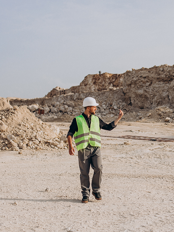
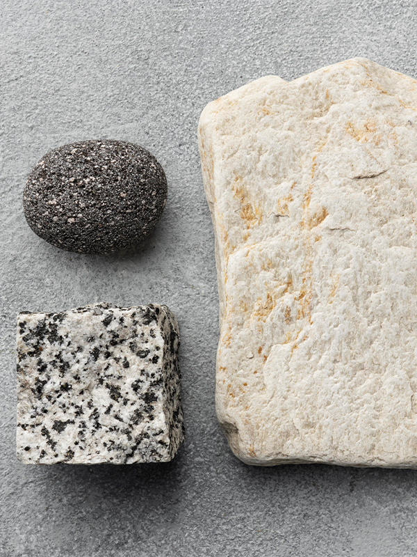
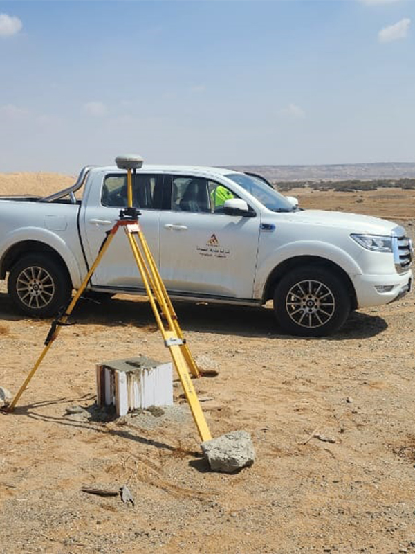
Field data collection, geological mapping (regional and detailed), rock sample collection, geochemical analysis, surface drilling plan, petrographic study, collection, integration and processing of aerial geological and geophysical data and their interpretation in GIS or multi-layer file along the lateral lines for comprehensive interpretation, and thus writing the geological report.

Evaluation of mineral resources potential
Masharef uses advanced exploration techniques, including remote sensing, geophysics, geological mapping, and geochemical surveys, to identify and evaluate the potential of mineral deposits.


